
Russia’s ‘New’ Navigation System Has Been Operating in the West for 30 Years
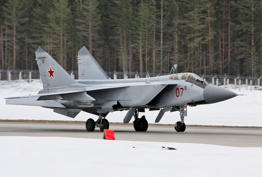
Yesterday the International Business Times (IBT) published an article regarding a new navigation system being installed on Russia’s MiG-31 fighter planes. The navigation system was reported as being able to operate in arctic weather conditions and was able to operate independent of satellites. This new navigation system was referred to as ‘strap down inertial navigation.’ There’s just one small problem with this ‘news’ report: strapdown inertial navigation systems have been operating on a wide variety of civil and military aircraft in the West for the past 30 years.
Since I have been mistaken, professionally, more times than I care to admit, I try to be hesitant before criticizing others. However, a quick Google search of “strap down inertial navigation’ would show any reporter that the technology has been in existence for a very long time. Is it new to Russia? My guess is no. IBT’s article was prompted by a TASS news release also published yesterday. Did some key information get lost in the translation from Russian to English? Very possibly. Defense Industry Daily reported on the TASS news release also but referred to it as ‘a special inertial navigation system designed for Arctic conditions…’ However, even if this is the case then the Russians would simply be catching up to the West. There are a handful of inertial navigation system manufacturers in the West and all have products that meet the requirements of operation in the Arctic. Just as one example, the publicly available spec sheet for Northrop Grumman’s LN-251 states that the unit can operate down to a temperature of -54 deg C.
To be fair, the TASS news release claims the Russian equipment can operate down to -60 deg C and survive down to -70 deg C. I’m not an Arctic conditions expert, however, and thus cannot comment on whether or not that is a meaningful advantage. Nevertheless, the press release (and the IBT article) seemed to imply that the ability of the ‘new’ Russian system to operate without satellites or ground-based communication was an advantage. However, this advantage has been the same for all inertial navigation systems since the earliest ones were developed and deployed in the 1950s.
If you haven’t quit reading this post yet and still aren’t sure what an inertial navigation system is, the principle is quite simple. Build a device that measures acceleration and then process the measurements to determine velocity and position. The details are, of course, vastly more complicated but that’s the main idea. An inertial navigation system is a piece of (complex) equipment that gets installed in a vehicle. It is a stand-alone system (meaning that it does not need to send or receive radio frequency signals in order to operate). Thus all inertial navigation systems (including those manufactured in the West and in Russia) operate without the need for satellites or ground-based communication.
Although written in 1998, the retrospective article on inertial navigation written by A. D. King of Marconi Electronics Systems provides an excellent treatment on the historical developments in the industry.
Since the early 1990s, most civil and military inertial navigation systems have been built with satellite navigation (e.g., GPS) as an optional additional element. Inertial and GPS are highly synergistic. Inertial navigation systems provide high data rates, low data latencies, low noise and high quality attitude (e.g., pitch, roll, yaw), but their errors gradually grow over time (inertial navigation is essentially a very high tech form of dead reckoning). On the other hand, satellite navigation systems have low data rates, high data latencies, higher noise levels (compared to inertial), do not provide attitude (unless a much more complex installation is accommodated), but their errors do not grow over time. The long-term stability of the satellite navigation position solution is the key reason why it is integrated with inertial navigation systems.
What happens to a Honeywell, Kearfott, or Northrop Grumman inertial navigation system if GPS is unavailable? It continues to operate quite happily. Just not as accurately as it is if GPS is available. I suspect the Russian system basically does the same.
% % % % % % % % % % % % % % % % % % % %
Are you a researcher in need of simulating an inertial navigation system (INS) on your desktop? Check out the INS Toolbox for MATLAB provided by GPSoft LLC.